Mt. Makuyama
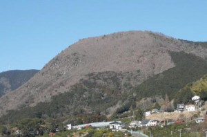
Mt. Makuyama symbolizes the Yugawara hot spring area, which i s located near the sea, mountains, and rivers, and has been a part of the everyday scenery for the local peopl e throughout history. Geologically speaking, the mountain is a part of Hakone Volcano which features a number of interesting characteristics.
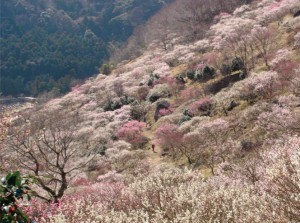
The hiking trail leads to the summit at 626 meters. From there, you can enjoy the view of Manazuru Peninsula and Hatsu Island down below and a panoramic view of Sagami Bay. At the base of the mountain, Yugawara Bairin (plum grove) has approximately 4,000 red and white plum trees, and the Ume-no-utage Festival takes place during the blooming season.
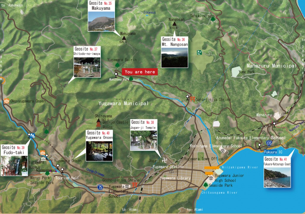
Neighborhood Geosite map
History of Mt. Makuyama
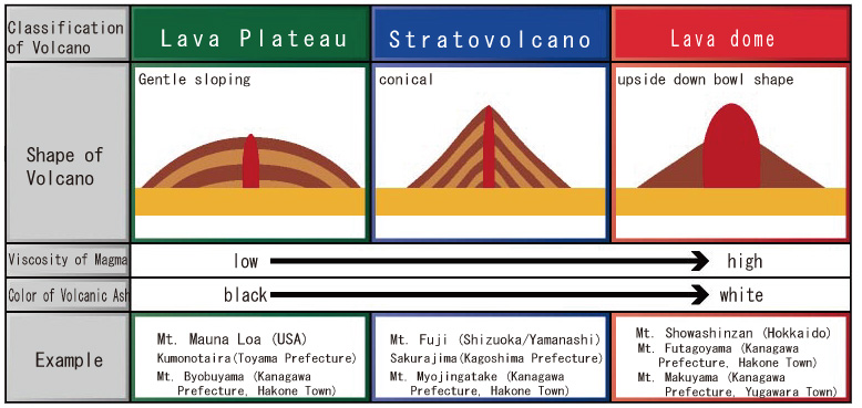
Mt. Makuyama is a part of the Hakone volcano that started to become active about 650 to 350 thousand years ago. About 230 to 130 thousand years ago, the volcano erupted and spewed out very viscous magma. Mt. Makuyama is thought to be the lava dome formed by the lava hardening.
Characteristics of Mt. Makuyama
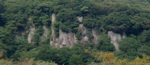
The origin of the name “Mt. Makuyama” is said to come from the exposed rock face of the southern foot slopes that look like “maku (curtains)” of a stage when viewed from a distance. When this rock face is observed from nearby, cracks resembling vertically aligned mosaic can be seen. These are “columnar joints” formed when magma erupting out to the surface cools and shrinks and splits into orderly cracks. Most columnar joints are sections of hexagons however, in Mt. Makuyama, they are mostly rectangular. The lava of Mt. Makuyama is partly made of a volcanic rock “dacite” that resembles Hon Komatsu lava and is gray in color, and partly made of rhyolite that contains large amount of quartz and appears as a pattern of white stripes and so it is understood that there are 2 types of magma mixed here.
The Secret Birth Story of Yugawara Bailin (ume plum trees)
The start of Yugawara Bailin (Yugawara Plum Grove) was when plum trees were planted at the foot of Mt. Makuyama in order to prevent landslides and as a resource for future tourism. This was done before the merger of towns and villages from around 1954 by local volunteers (Kajiya area). Later, repeated supplemental plantings resulted in a place where 28 species for about 4,000 red and white plum blossoms bloom. This is Kanto’s premier plum grove and has delighted the eyes of the people who have visited here. “Yugawara Bailin” is a valuable asset left to us by our great ancestors.
