Sengokuhara Marsh
Designated National Natural Monument the “Hakone Sengokuhara Wetlands Botanical Community”
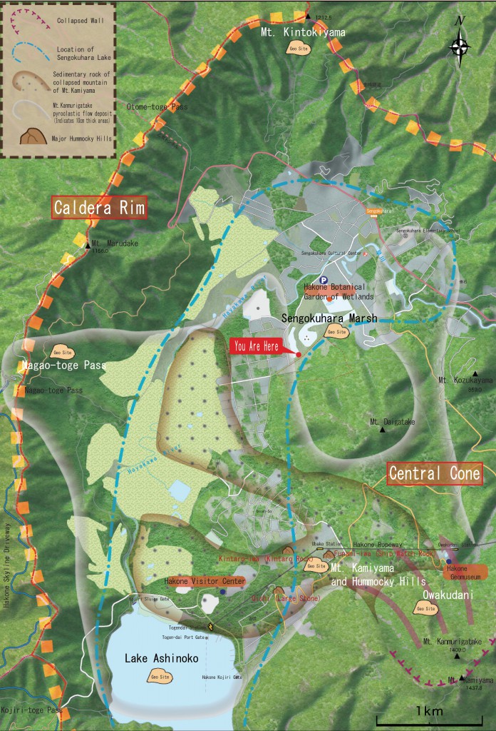
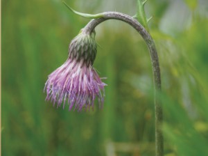
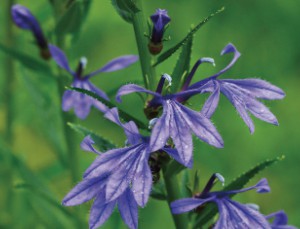
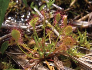
Sengokuhara Marsh is geographically rare wetlands that remain in Japan’s low mountains. In 1934, a portion (approximately 0.7ha) was designated as a national monument. Hakone Mountains are often steep but the terrain is flat in this area. About 40,000 years ago, there was a giant lake (Lake Sengokuhara) many times larger than the present day Lake Ashinoko spread out through this region. Later, a portion of the lake turned into flat terrain from volcanic activity changing the area to land. Sengokuhara Marsh became wetlands from of the lake being turning into land. From the wetlands, you can see Nohanashoubu (Iris ensata), Mizuchidori (Platanthera hologlottis), Sphagnum palustre, Maazami (Cirsium), Sawagikyo (Lobelia sessilifolia) and other seasonal plants. There are also carnivorous plants such as the Mosengoke (Sundew).
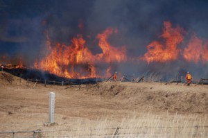
Noted Area for Pampas Grass Field burning
]Plant that can be found in the Sengokuhara wetlands <( ) shows timing for flowers in full bloom>
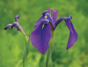
Nohanashoubu (Iris ensata) (early summer)
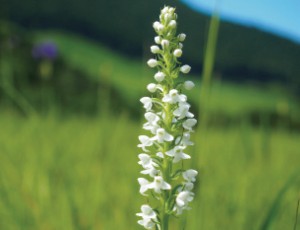
Mizuchidori (Platanthera hologlottis) (summer)
Maazami (Cirsium) (summer-autumn)
Sawagikyo (Lobelia sessilifolia) (autumn)
Mosengoke (Sundew) (early summer – midsummer)
To maintain the plant community of the wetlands, mowing of blue grass is conducted every year in June and burned in the winter.
This is a traditional management method and has been continued since the Edo Period. Burning prevents the invasion of shrubs and trees. The heights of plants are kept low for a clear prairie.
*Sengokuhara Marsh is a designated National Natural Monument
To protect the wetlands botanical communities, entrance into the wetlands is prohibited. There is a “Plant Restoration District” within the neighboring Hakone Botanical Garden of Wetlands. You can view the plants of the wetlands here.
]Terrain Surroundings of Sengokuhara
View from near Nagao-toge Pass
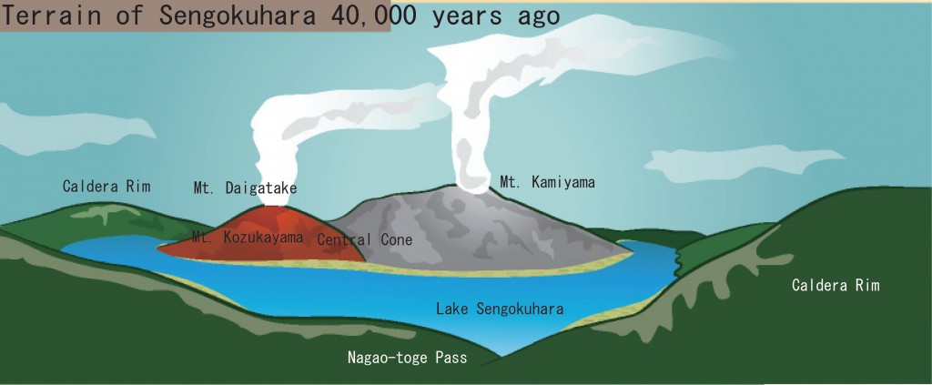
Terrain of Sengokuhara 40,000 years ago
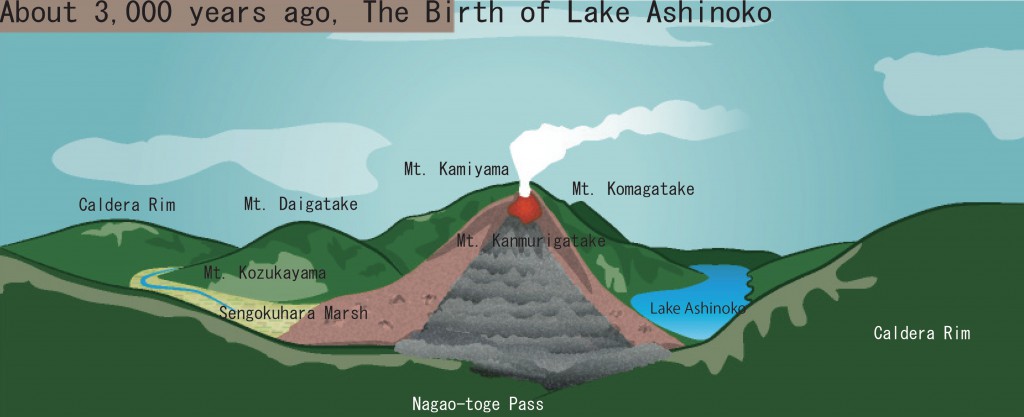
Deposits of pyroclastic flow from an eruption of Mt. Kamiyama dammed Hayakawa River in the vicinity of Mt. Kozukayama.
“Lake Sengokuhara” was created from that point upstream when the river was dammed.
About 3,000 years ago, The Birth of Lake Ashinoko
The collapse of the mountain occurred on the northwest side of Mt. Kamiyama. Large fragments of the mountain formed a “Hummocky Hill” and still remain today. Following this, Mt. Kanmurigatake erupted and formed the mountain. Sengokuhara completely became dry land. However, a portion because wetlands and still remains today.
Makoto Kobayashi (2008) Kanagawa Prefectural Museum Survey Research Report (Natural Science)
Illustrated based on figure No. 13
