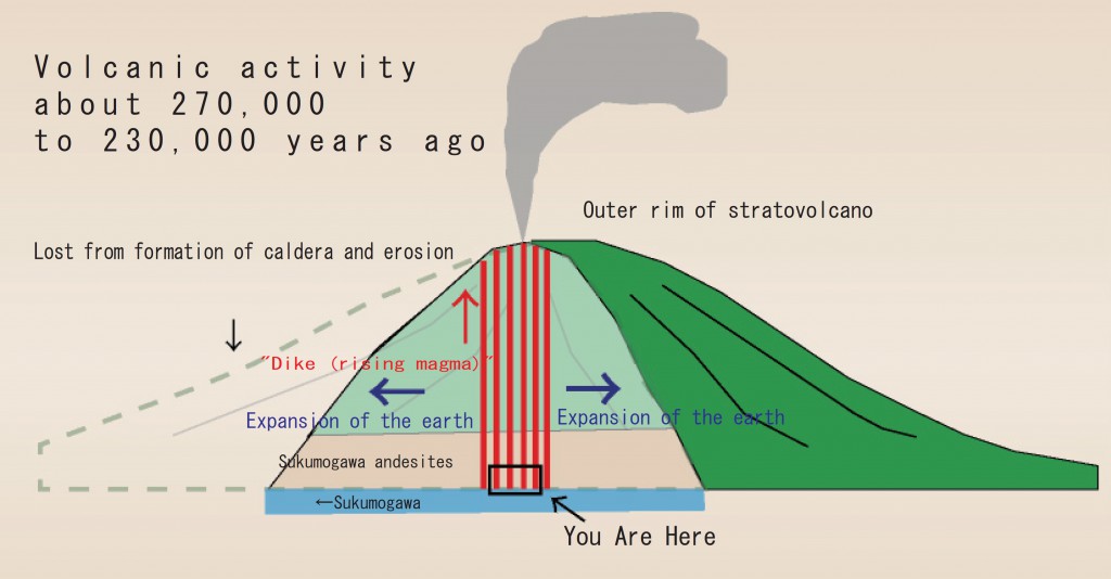
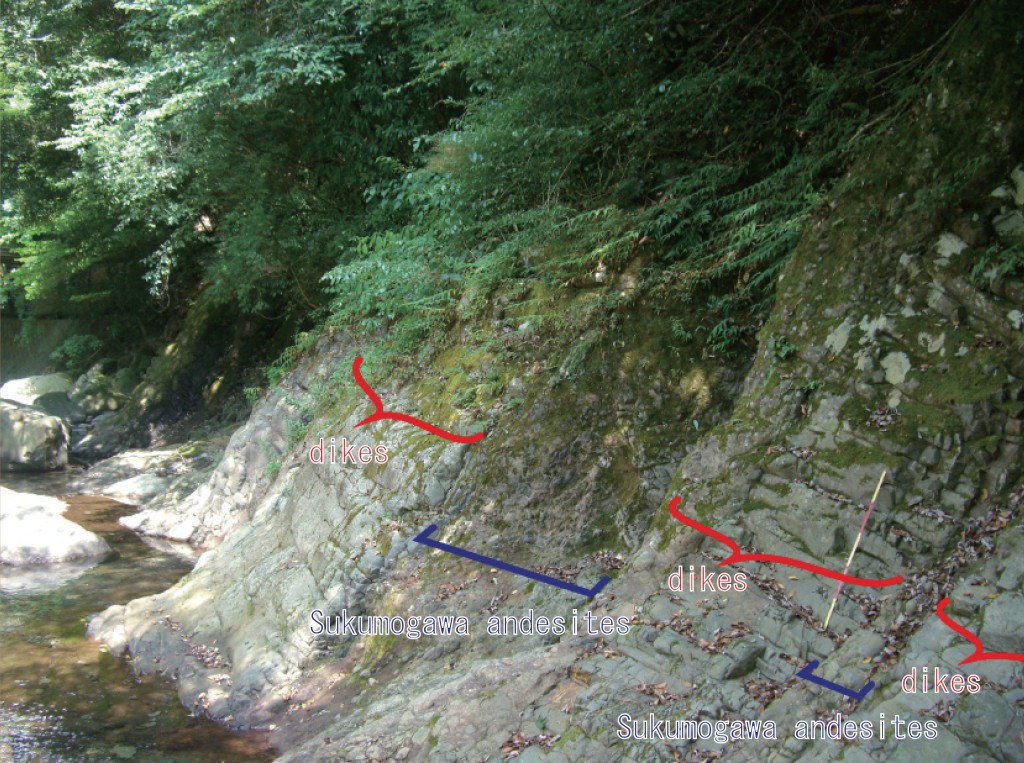
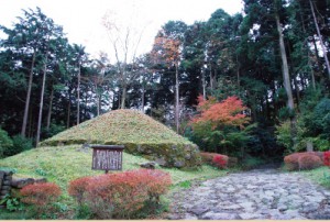
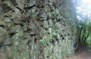
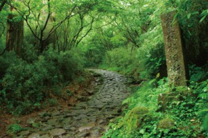
The headwaters of Sukumogawa River are near Mt.Futagoyama. Sukumogawa River merges with Hayakawa River at Hakone-Yumoto and flows into the Sagamiwan (Sagami Bay). Dispersed around in this vicinity, there are strata called Sukumogawa andesites from 4 million years ago. The Hakone volcano has been active from about 400,000 years ago through the present. In the riverbed under the bridge, you can see traces of the magma from about 270 to 230 thousand years ago as it broke through the bedrock as it rose towards the surface. The passage of this magma is a “dike”. You observe the many layers of the thin plate like rocks entering vertically.
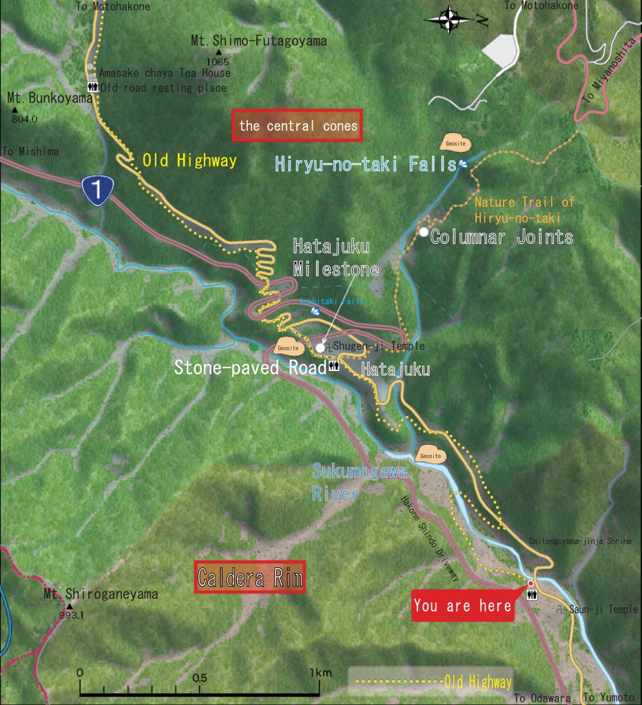
Riverbanks of Sukumogawa River
The Sukumogawa andesites and dikes are exposed alternately. Because of this, you can tell the magma formed into streaks as it rose towards the surface. The dike is andesite lava. They form what is called “joints” when the lava cools rapidly and have horizontal cracks.
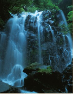
Hiryu no Taki (Hiryu Falls)
The name of the waterfalls comes from the shape that looks like a dragon taking off and flying. The upper falls is 15m and the lower 25m and divides into 2 falls. It is the largest falls in Kanagawa Prefecture. It is said that during the Kamakura Period, Hakone Gongen ascetic followers, cleanse themselves by meditating under the falls. The strata of the waterfalls are Asama lava from an eruption about 120 thousand years ago.
Hatajuku
Hatajuku is known as one of the areas to produce the traditional craft “Yosegizaiku (parquetry)”. Yosegizaiku is combining different color wood and making patterns. Yosegizaiki is a technique to decorate surfaces such as for boxes. At Hatajuku, there is a milestone that exists as a marking for the highway. (23 ri from Nihonbashi)
Columnar Joints
Midway on the hiking course to go to the Hiryu no Taki, you can see “columnar joints” that are made by cracks formed when lava cools and harden.
